

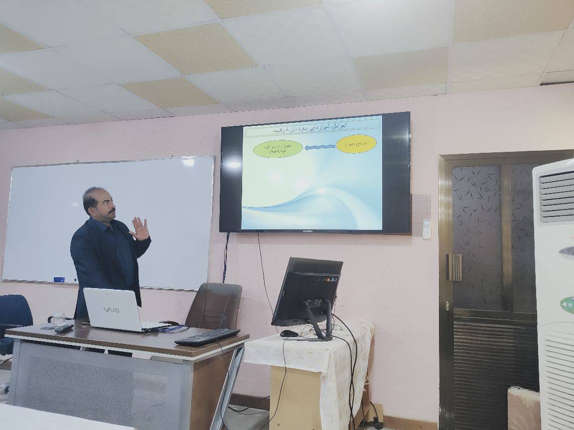
The University of Basra Organizes a Course on Soil and Water Management Using Geographic Information System Technologies
The Marine Sciences Center at the University organized a training course titled “Soil and Water Management Using Geographic Information System (GIS) Technologies.”
The course aimed to enable participants to utilize spatial analysis tools to address issues of water scarcity, soil degradation, and the rational use of natural resources.
The course, led by Dr. Ayman Abdul-Latif Kweis, covered the fundamentals of GIS in natural resources, including an introduction to geographic information systems, types of data, and spatial data sources for soil and water (digital maps, remote sensing, elevation models), as well as how to
spatially analyze soil properties and map the distribution of soil, salinity, water table, and slope. It also covered erosion assessment using the USLE model within a GIS environment, as well as simulating the impact of climate change or urban expansion on soil and water, with the production of interactive maps to support decision-making.
Important News


viewed most
.jpg)
.png)