

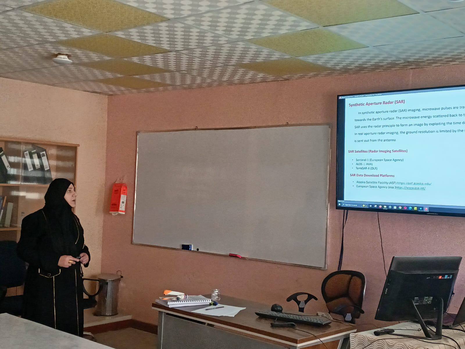
The Marine Sciences Center at the University of Basra organized a training course titled “An Introduction to Radar Imagery and Its Use in InSAR Technology”
The course aimed to provide participants with a theoretical understanding and practical application of Synthetic Aperture Radar (SAR) and Interferometric Synthetic Aperture Radar (InSAR) to monitor and identify surface changes and ground deformations with extreme precision.
The course, taught by lecturer Zainab Adel Issa and other researchers,
covered Synthetic Aperture Radar (SAR) technology as an active remote sensing tool that sends precise signals to map the Earth’s surface, with a focus on interferometric InSAR technology, which combines two or more images of the same area to measure surface deformations with millimeter-level accuracy (such as earthquakes, volcanoes, and land subsidence), where the phase difference between the returning waves is calculated to determine the extent of change in elevation or location.
Department of Media and Government Communication
Important News


viewed most
.jpg)
.png)