

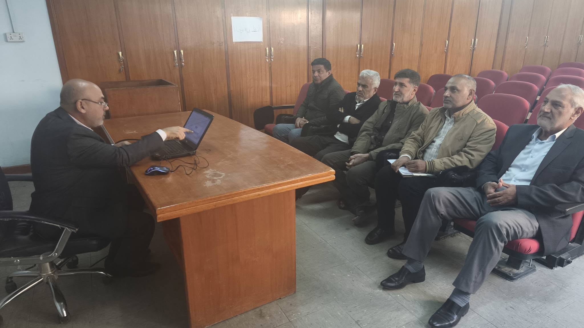
The Marine Science Center at the University of Basra organized a course entitled “Unsupervised Classification of Satellite Images: A Tool for Exploring Environmental Changes in Coastal Areas and River Estuaries.”
The course aimed to introduce participants to the principles and techniques of unsupervised classification of satellite imagery and its use as an exploratory tool for understanding primary environmental patterns in coastal areas and river estuaries and detecting spatial variations and qualitative characteristics of different environmental elements, especially in cases where there is a lack of sufficient field data sufficient field data or require preliminary study before detailed field measurements can be taken.
The course, presented by Dr. Adel Jassim Mohammed and Dr. Ali Abdul-Razzaq Lfta, included an explanation of the theoretical basis of classification and its relationship to the stratification characteristics of water, and training participants to interpret classification results and relate them to environmental phenomena. It highlighted the role of non-targeted classification in long-term environmental monitoring and spatial and temporal changes in coasts and estuaries.
Media and Government Communication Department
Important News


viewed most
.jpg)
.png)